What It Is
Know Exactly Where Your Land Begins and Ends
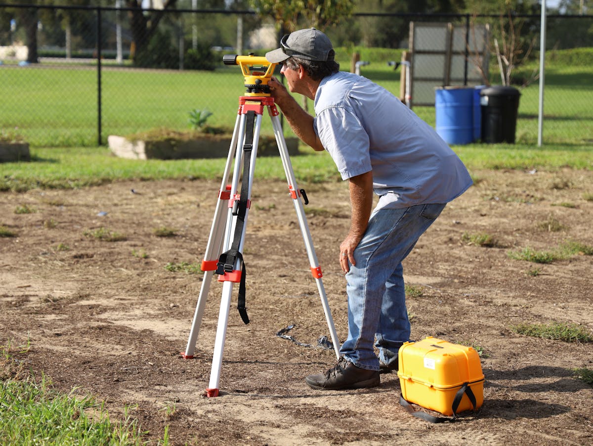
A land survey establishes your legal boundaries on the ground — measured with centimetre-grade GPS and total stations, resolved against deeds and county records, and certified by a licensed Professional Land Surveyor.
Buyers use it to close with confidence, owners to settle fence disputes, builders to place structures legally, and lenders to insure title. If it involves a boundary, it starts here.

What's Included
Every Land Survey Covers
Record Research
Deeds, plats, easements and right-of-way maps pulled and reconciled before fieldwork.
Field Measurement
GPS, total station and level runs locating corners, improvements and encroachments.
Monumentation
Iron pins with stamped caps set at every corner — built to outlast fences and disputes.
Stamped Plat
Signed, sealed plat plus CAD files — ready for closing, permits or recording.

Survey Types
Which Survey Do You Need?
- Boundary survey — find lines, settle disputes, build fences
- ALTA/NSPS survey — commercial closings, title insurance, lenders
- Topographic survey — elevations and features for architects and engineers
- Subdivision & lot splits — plats, legal descriptions and county approval
- Elevation certificate — flood insurance and FEMA documentation


“Their ALTA survey caught an easement issue that could have killed our closing. Thorough, fast and easy to reach.”