Full-Service Surveying
Three Disciplines, One Accountable Team
Every service is performed or supervised by a licensed surveyor and delivered with stamped plats, CAD files and responsive support.
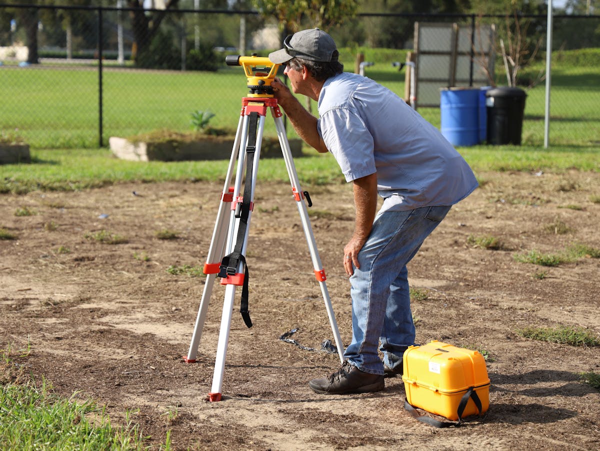
01 — Field Surveying
Land Survey
Boundary surveys, ALTA/NSPS land title surveys, topographic surveys, subdivision platting, lot splits and elevation certificates — researched in county records, measured with GPS and total stations, and stamped for recording or closing.
- Boundary, ALTA/NSPS & topographic surveys
- Subdivision plats & lot line adjustments
02 — Aerial & Data
Digital Mapping
FAA-licensed drone flights produce orthophotos, 3D surface models and GIS layers accurate to centimetres — the fastest way to map large, rugged or inaccessible ground and keep designs current.
- Drone orthophotos & 3D terrain models
- GIS databases & CAD base maps

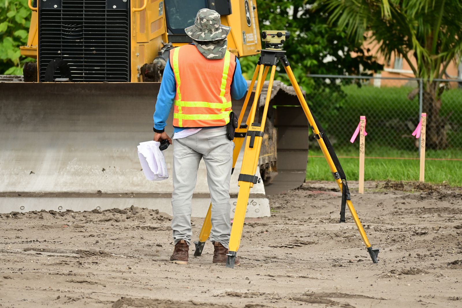
03 — Design & Build
Engineering Support
Control networks, construction staking, as-built verification and settlement monitoring that keep architects, engineers and contractors building exactly what was designed.
- Construction staking & as-builts
- Control networks & deformation monitoring
How It Works
From First Call to Filed Plat
01
Quote & Records
Fixed quote in one business day; we pull deeds, plats and easements before boots hit ground.
02
Fieldwork
Licensed crew measures boundaries, topo and monuments with GPS, scanners and drones.
03
Draft & Review
Calculations are independently checked, then drafted to CAD and GIS standards.
04
Stamp & Deliver
Stamped plat, digital files and county filing — plus monuments set in the ground.